Location
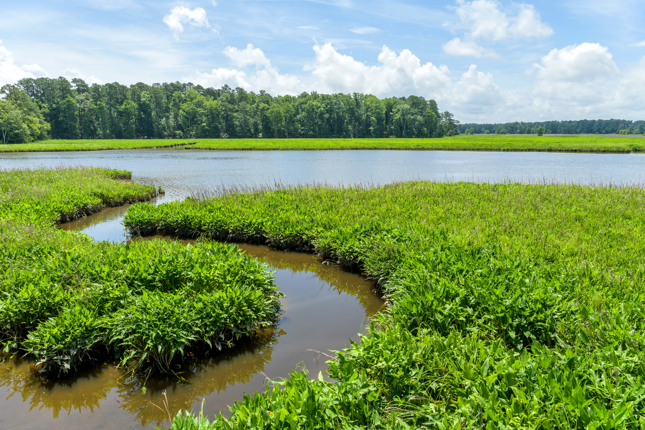
Photo of the marshy banks of the James River at Jamestown, Virginia.
Essential Question:
Location played a big role in how people lived in the 1600s. It influenced what they ate, where and how they could build a house, who their neighbors were, and more.
In the Chesapeake region, many settlements were made along rivers, streams, and the Bay. English colonists who arrived had to be aware of the local Indigenous tribes living in the region.
Jamestown and St. Mary’s City were the first permanent settlements in the Chesapeake Bay area. Can you find them on the map?
Exploring the Chesapeake Bay
Use the map below to learn more about the colonies, people, and geographical features of Chesapeake Bay region in the 1600s. Select each term to read more information.
Use the map to help you fill in the blanks in the following passages about Jamestown and St. Mary’s City. Select and place the words from the Word Bank to the correct blanks in the paragraph. Check your answers, then take notes about what you learned.
Jamestown
St. Mary's City
Even though the Jamestown and St. Mary’s City settlements are close together on the map, their different locations changed how the colonists lived in each place. In the following activity, you will identify the similarities and differences between the settlement locations of Jamestown and St. Mary’s City.
Use what you have learned to complete the activity. Drag the location features from the Word Bank into the correct columns. Do they have something in common, or are they different? When you are finished, check your work to see how you did.